

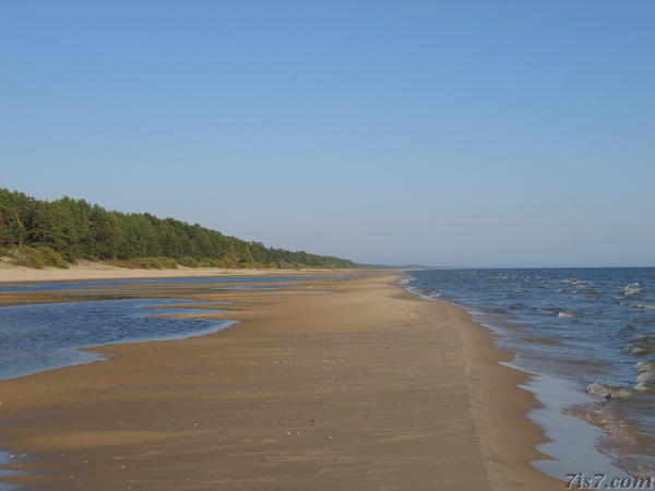
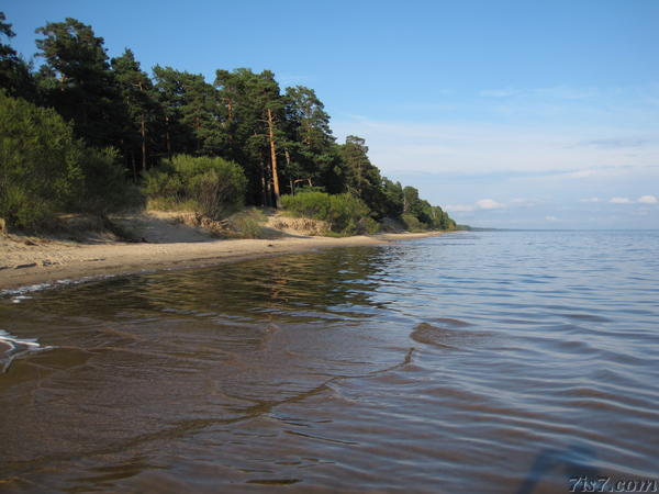
View of a section of the beach on the northern shoreline of lake Peipsi. This being a lake there is no daily high and low tide as the first photo may suggest. The apparent low water level on the photo from 2006 has to do with low amounts of rainfall. The second photo, from 2010, along the same stretch of the shore shows the lake with a higher water level.

Lake Peipsi is the fifth largest lake in Europe and the largest in Estonia. It covers an area of 3,555 square kilometers and forms a large section of the border between Estonia and Russia.
The northern stretch of the lake has the nicest beaches, the western and southern shoreline tends to be overgrown with reed.
Location: on: Google Maps, OpenStreetMap, Maa Amet.
Copyright Otto de Voogd 2006 & 2010